FLAGSTAFF MAP
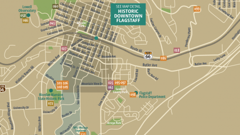
Street map of the city to guide you to where you need to go in town. The map includes local attraction locations and helpful points of interest.
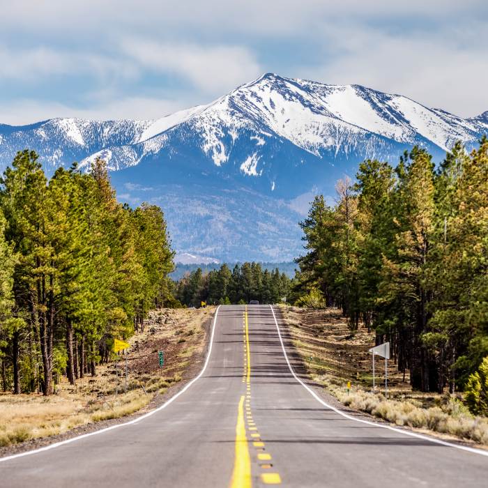
Flagstaff is located near the center of Northern Arizona at the juncture of Interstate 17 and Interstate 40, about 150 miles north of Phoenix, AZ and 80 miles south of the Grand Canyon.
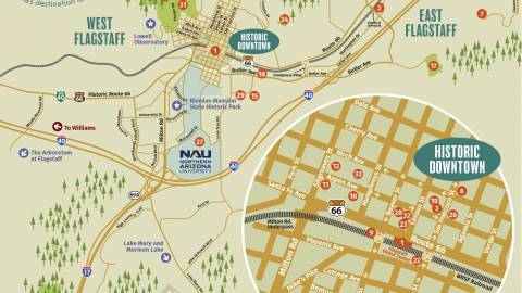
Street map of the city to guide you to where you need to go in town. The map includes local attraction locations and helpful points of interest.

Includes up-to-date listings and locations of dining options in the downtown area. This map is also useful to guide you through the historic area of Flagstaff.
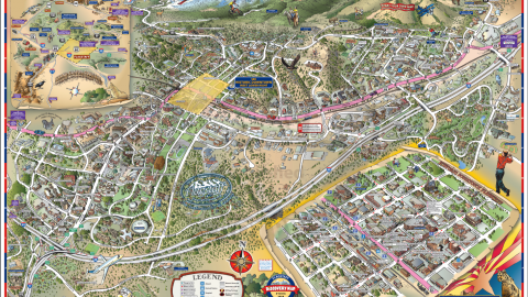
The Flagstaff, Arizona, Discovery Map is an illustrated guide providing quick access to the best opportunities for recreation, lodging, dining and more.

Find your way through campus with this guide to buildings, meeting locations, athletic facilities and parking.
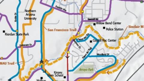
FUTS is a city-wide network of more than 50 miles of non-motorized, shared-use pathways usedfor both recreation and transportation. About half of trails are paved and half consist of a hard-packed, aggregate surface. FUTS trails are generally eight or ten feet in width.
Flagstaff is home to many world-renowned artists and public art installations. The Public Art Map is your guide to finding these pieces to view.
Explore More

The Flagstaff Travel Guide is an annual publication featuring the accommodations, restaurants, activities and useful travel information for the Flagstaff area.
Get The Guide